
NDVI, Multispectral & Mapping Drones
NDVI and multispectral mapping is the layer that turns drone hardware into agronomy. A well-specified imaging programme delivers RTK-accurate orthomosaics, prescription shapefiles for variable-rate application and repeatable biomass indices season-over-season.
Do I need a fixed-wing drone or is a multirotor enough?
Fixed-wing and VTOL platforms win on flights above ~150 ha where flight time and endurance matter. Multirotors win on small blocks, orchards and low-altitude high-detail passes. Most commercial operators run both, or a hybrid VTOL.
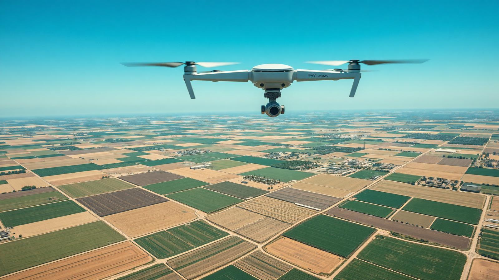
What a well-specified programme includes
Fixed-wing platforms cover 200–800 ha per flight for boundary, drainage and volumetric surveys — critical for irrigation and land-development projects.
5–10-band multispectral cameras (red-edge, NIR) drive true biomass and stress indices, not just visible-light greenness.
Prescriptions export as shapefile / GeoTIFF for variable-rate pivots, fertigation, ground booms and drone spreaders.
Same flight lines, same GSD, same calibration reference — season-over-season comparability that phone-camera scouting cannot match.
Typical specification
| Platforms | Fixed-wing + multirotor + hybrid VTOL |
|---|---|
| Coverage | 200 – 800 ha per fixed-wing flight |
| Sensor stack | RGB, 5 / 10-band multispectral, thermal, LiDAR |
| Accuracy | RTK / PPK, 2 – 5 cm GSD typical |
Frequently asked questions
Do I need a fixed-wing drone or is a multirotor enough?
Fixed-wing and VTOL platforms win on flights above ~150 ha where flight time and endurance matter. Multirotors win on small blocks, orchards and low-altitude high-detail passes. Most commercial operators run both, or a hybrid VTOL.
What's the difference between NDVI and multispectral?
NDVI is a single index computed from red and near-infrared bands. A 5- or 10-band multispectral camera captures red-edge and additional NIR bands so you can compute NDVI, NDRE, GNDVI and true biomass and chlorophyll indices — a much stronger agronomic signal.
How does mapping feed variable-rate irrigation?
Prescription shapefiles export directly into pivot controllers, drip-irrigation zone controllers and fertigation systems. Where the buyer is bundling drones with irrigation, we specify the data handshake up front.
Other agricultural drone use cases
Specify a commercial vineyard and orchard spraying drone programme: 30–70 L payloads, RTK autonomy and terrain following. Vendor-neutral RFQ.
Specify a seeding drone programme for cover crops, over-seeding and granular top-dressing. Vendor-neutral RFQ across leading spreading payloads.
Thermal-camera drone programmes for orchards, vineyards and irrigated crops: irrigation stress, frost risk and pest hotspots. Vendor-neutral RFQ.
Specify a multi-drone fleet with docking stations, battery-swap logistics and BVLOS-ready autonomy for large estates. Vendor-neutral RFQ.
In-country pilot training, spray-drone certification and regulatory documentation for EASA, FAA Part 137, DGCA and more. Bundled into your drone RFQ.
NDVI, multispectral & mapping — regulations by destination country
Before the fleet is specified, confirm the destination country's registration, pilot licensing, BVLOS and spray-drone approval route.
Specify the ndvi, multispectral & mapping programme.
Share destination country, scale and job list. A SeedMatchGroup advisor returns a line-item comparable shortlist across independent global drone manufacturers.